File:Openstreetmap.jpg
Jump to navigation
Jump to search
The printable version is no longer supported and may have rendering errors. Please update your browser bookmarks and please use the default browser print function instead.
No higher resolution available.
Openstreetmap.jpg (500 × 271 pixels, file size: 60 KB, MIME type: image/jpeg)
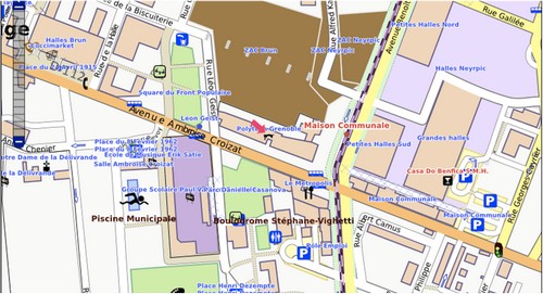
Représentation d'un environnement dans OpenStreetMap avec informations attributaires.
File history
Click on a date/time to view the file as it appeared at that time.
| Date/Time | Thumbnail | Dimensions | User | Comment | |
|---|---|---|---|---|---|
| current | 19:52, 12 February 2012 | | 500 × 271 (60 KB) | Aurélie (talk | contribs) | |
| 19:49, 12 February 2012 | 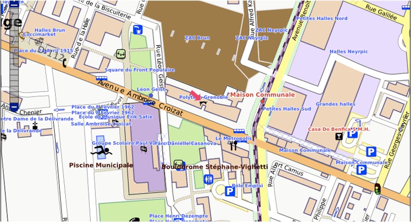 | 846 × 458 (135 KB) | Aurélie (talk | contribs) | Représentation d'un environnement dans OpenStreetMap avec informations attributaires. |
You cannot overwrite this file.
File usage
The following page uses this file: