File:PdC GPS2.png
Revision as of 17:51, 19 March 2020 by Leya.Badat (talk | contribs) (Mesures en montagne : Relevés GPSsur carte)

Size of this preview: 800 × 448 pixels. Other resolutions: 320 × 179 pixels | 952 × 533 pixels.
Original file (952 × 533 pixels, file size: 61 KB, MIME type: image/png)
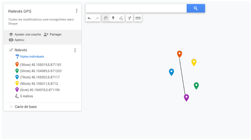
Mesures en montagne : Relevés GPSsur carte
File history
Click on a date/time to view the file as it appeared at that time.
| Date/Time | Thumbnail | Dimensions | User | Comment | |
|---|---|---|---|---|---|
| current | 17:51, 19 March 2020 | | 952 × 533 (61 KB) | Leya.Badat (talk | contribs) | Mesures en montagne : Relevés GPSsur carte |
You cannot overwrite this file.
File usage
There are no pages that use this file.