File:PdC Préétudeenville.png
Revision as of 17:13, 19 March 2020 by Leya.Badat (talk | contribs) (Pré-étude: Affichage des mesures du SNR sur smartphone via Bluetooth & Emplacement géographique des mesures | Secours en montagne avec Lora)
No higher resolution available.
PdC_Préétudeenville.png (645 × 590 pixels, file size: 417 KB, MIME type: image/png)
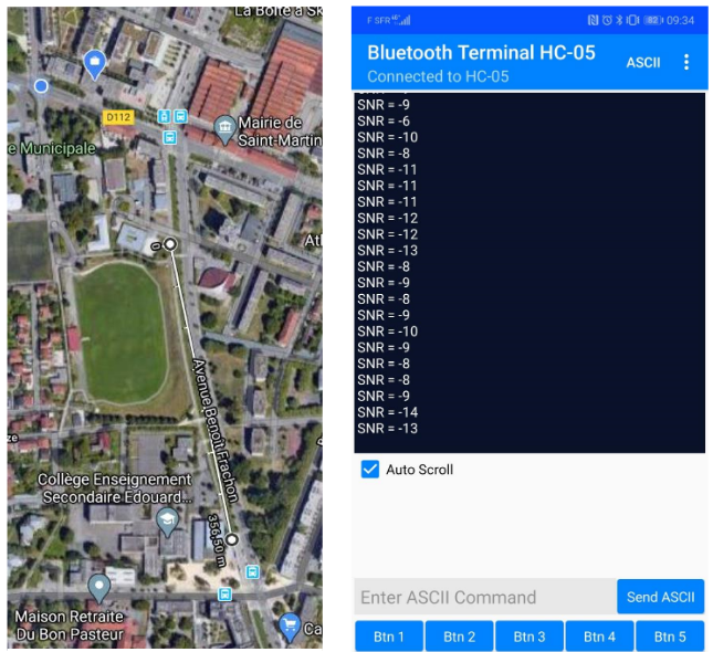
Pré-étude: Affichage des mesures du SNR sur smartphone via Bluetooth & Emplacement géographique des mesures | Secours en montagne avec Lora
File history
Click on a date/time to view the file as it appeared at that time.
| Date/Time | Thumbnail | Dimensions | User | Comment | |
|---|---|---|---|---|---|
| current | 17:13, 19 March 2020 | | 645 × 590 (417 KB) | Leya.Badat (talk | contribs) | Pré-étude: Affichage des mesures du SNR sur smartphone via Bluetooth & Emplacement géographique des mesures | Secours en montagne avec Lora |
You cannot overwrite this file.
File usage
There are no pages that use this file.