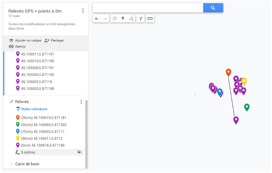
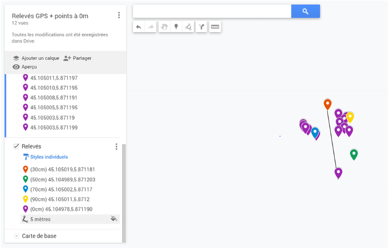
File:PdC GPS3.png
Revision as of 17:53, 19 March 2020 by Leya.Badat (talk | contribs) (Mesures en montagne : Relevés GPS sur carte+ points à 0 mètres | Secours en Montagne avec LoRa)
The printable version is no longer supported and may have rendering errors. Please update your browser bookmarks and please use the default browser print function instead.
Size of this preview: 800 × 510 pixels. Other resolutions: 320 × 204 pixels | 948 × 604 pixels.
Original file (948 × 604 pixels, file size: 85 KB, MIME type: image/png)
Mesures en montagne : Relevés GPS sur carte+ points à 0 mètres | Secours en Montagne avec LoRa
File history
Click on a date/time to view the file as it appeared at that time.
| Date/Time | Thumbnail | Dimensions | User | Comment | |
|---|---|---|---|---|---|
| current | 17:53, 19 March 2020 | | 948 × 604 (85 KB) | Leya.Badat (talk | contribs) | Mesures en montagne : Relevés GPS sur carte+ points à 0 mètres | Secours en Montagne avec LoRa |
You cannot overwrite this file.
File usage
There are no pages that use this file.